Who: Ryan, LeeWhay, and Adam (Ryan’s brother)
When: 11/5/11 – 11/19/11
Why: We’re not really sure why. We’ve been talking about it for years…
Plan: Travel to and from Copper Canyon over two weeks. We would get to Creel (the northern gateway to the canyon) and then firm up our itinerary and route. We did want to see Creel, Basaseachi(c) Falls, Urique, Batopilas, and Alamos or El Fuerte.
We would navigate by GPS, paper maps, and locally sourced knowledge. The main GPS system we used was the MotionX GPS app using an iPad and iPhones with an external Bluetooth Dual XGPS150 receiver. We had an old handheld Garmin Vista as a backup (never used). Paper maps were road and topo sourced from MexicoMaps.com. (Mark was a great guy and a big help!)
Chickadee and I would drive from Santa Barbara, CA to Tucson to meet my brother who was already in Tucson. (He did a San Jose to Death Valley to Grand Canyon to Sedona to Tucson trip the week before.)
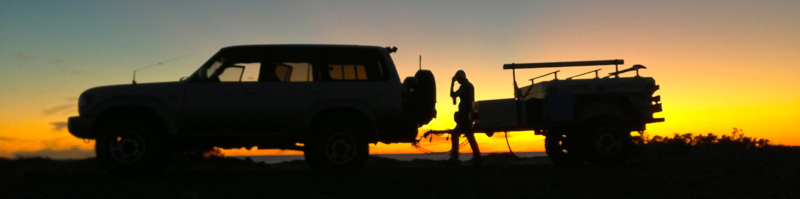
We would carry all the gear/supplies we would need for a week (minus gas). Each party would sleep in the back of their own trucks on 3-4″ of foam. Gear would either go in the foot wells if heavy (i.e. spare parts and canned food), be strapped down and moved to the front seats at night if moderate weight (i.e. cooking supplies and cooler), or stowed in our Yakima Rocket Box on the LX450’s roof rack if lightweight (i.e. clothes and dry foods). We used this system for 2 weeks in Baja previously. It works well for short durations but I’m not sure I’d want to do a circumnavigation this way…