After completing the Simpson Desert crossing from East to West, we believe that we chose the correct direction of travel. Descending the West side of the dunes appeared to be much easier than ascending the West side of the dunes due to more pronounced “cross axel whoop dee woo’s”.
We chose our route starting on the QAA Line to the K1 Line to the Rig Road to the French Line after speaking with Rob from Hema Maps and Luca and Marquita at the Overland Expo last May. We appreciated their suggestions! We especially enjoyed the solitude of the Rig Road where, in three days, we only encountered two parties.
We ran into one man, driving a 4×4 Sprinter who strongly encouraged us to turn around due to our trailer. We didn’t find the Simpson to be very difficult at all and the trailer did not seem to impede our progress or cause any track damage. Much of the driving was like Baja or the Mojave Road in California. The dunes were no harder than sections of Pismo OHV . In fact, some of the dunes there are much harder. There just aren’t 1100 of them in a row (literally) for 450 miles!
We definitely recommend using a UHF radio to call out when approaching large dunes. (See Day 6 post.) Also, a tall sand flag on the front of the vehicle will save you if your radio dies or oncoming vehicles do not have a radio.
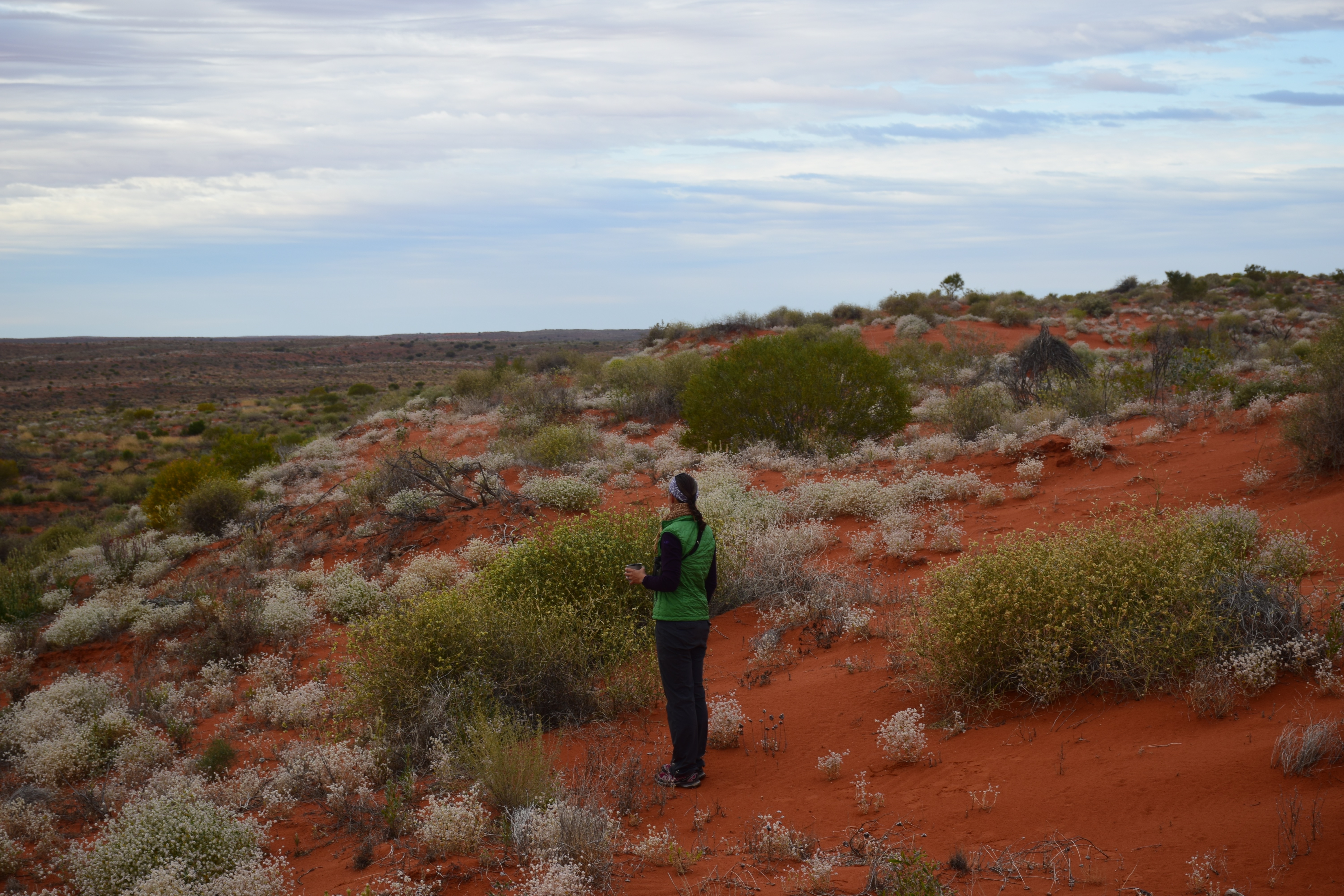
The Simpson Desert was not as barren as some of the deserts we have in the Southwestern US. We saw more vegetation and wildlife than we expected, especially birds. LeeWhay thinks that the Simpson would be a birder’s wet dream!
In hindsight, we both wish we took an extra day for our crossing. Oh well, maybe next time…
LeeWhay & Ryan