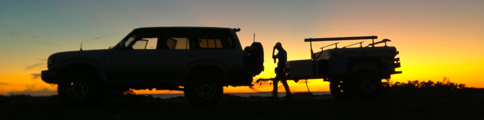
Our plan is to see the remote portions of the Australian Outback. We are targeting these areas since we are shipping our own vehicle and trailer. We can always come back to see the touristy areas and less remote areas with a less trusted rented car or 4WD.
Sydney > the Simpson Desert > Alice Springs/Ayers Rock > Tanami Track > the Canning Stock Route > the Gunbarrel Highway > back to Alice Springs > somewhere on the coast to ship out the vehicle
Simpson Desert
Start in Birdsville and end in Dalhousie Springs
- Birdsville
- W on the QAA track to Poeppel’s Corner
- S on K1 to Rig Road -or- E on French Line and S on ??? to Rig Road
- W on Rig Road to end
- N on ??? to WAA Line -or- French Line to
- Dalhousie Springs
Alice Springs Area
Spend a few days around here doing hikes and eating kangaroo, crocodile, camel, and emu.
Tanami Track/Road
Head NW out of Alice Springs to Halls Creek if we need serious provisions -or- Billiluna if we just need petrol
The Canning Stock Route
Start in Billiluna end in Wiluna. Get petrol and food/water in Kunawarritji. Take about three weeks to do this.
The Gunbarrel Highway
Begin in Wiluna, continue east to Carnegie Station, continue east to Warburton, end at Ayers Rock/Uluru.